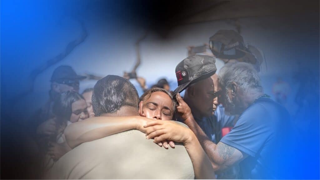
One year after the Maui wildfire catastrophe
PDC's message of hope and commitment to Maui’s resilience and recovery Maui Island,...

Aug 7, 2024 | Disaster Response, DisasterAWARE, Latest Stories, Partner Projects
PDC's message of hope and commitment to Maui’s resilience and recovery Maui Island,...
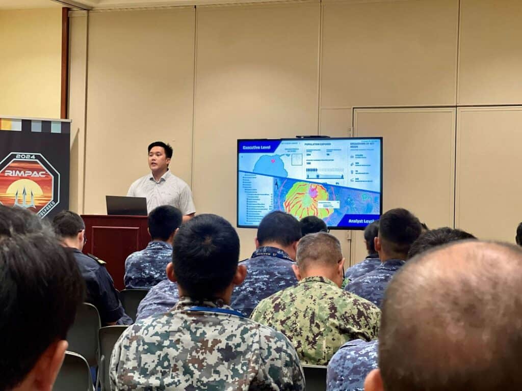
Jul 24, 2024 | training and exercise slides
Oahu, Hawai'i—Pacific Disaster Center (PDC), in partnership with the United States government...
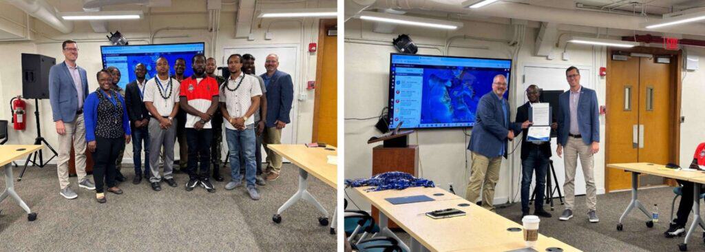
Jul 19, 2024 | DisasterAWARE, Latest Stories
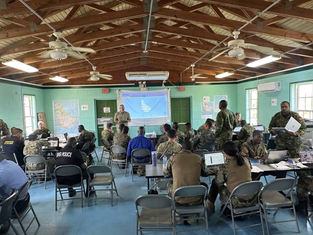
Nassau, The Bahamas—A longstanding partnership between the University of Hawai'i's Pacific...
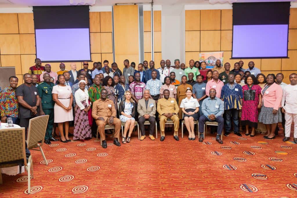
Jun 27, 2024 | National Disaster Preparedness Baseline Assessment
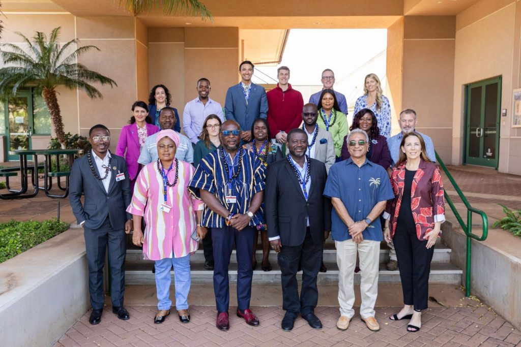
Accra, Ghana—Following a year-long collaboration to assess disaster risk and preparedness among Ghana’s diverse communities, key stakeholders reunited on June 26, 2024, to participate in the National Disaster Preparedness Baseline Assessment Final Workshop and Exchange.
May 14, 2024 | Early Warning, Exercises and Training
After concluding a year-long engagement with Barbados in which the Pacific Disaster Center...
May 13, 2024 | Partnerships
Recent collaboration between ASEAN and PDC includes the newly released assessment titled...
May 3, 2024 | Advanced Analytics, Early Warning, Partnerships
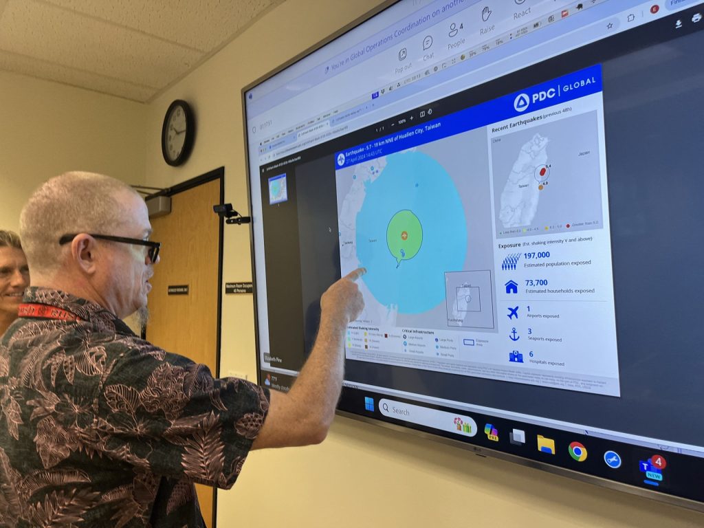
Geneva, Switzerland—During the week of May 6-10, 2024, participants at the U.N. Humanitarian Networks and Partnerships Weeks (HNPW) forum in Geneva, Switzerland will get a firsthand look at how PDC is spearheading transformative efforts within the “Early Warnings for All” initiative, including its advanced analytics
May 2, 2024 | Advanced Analytics, Partnerships
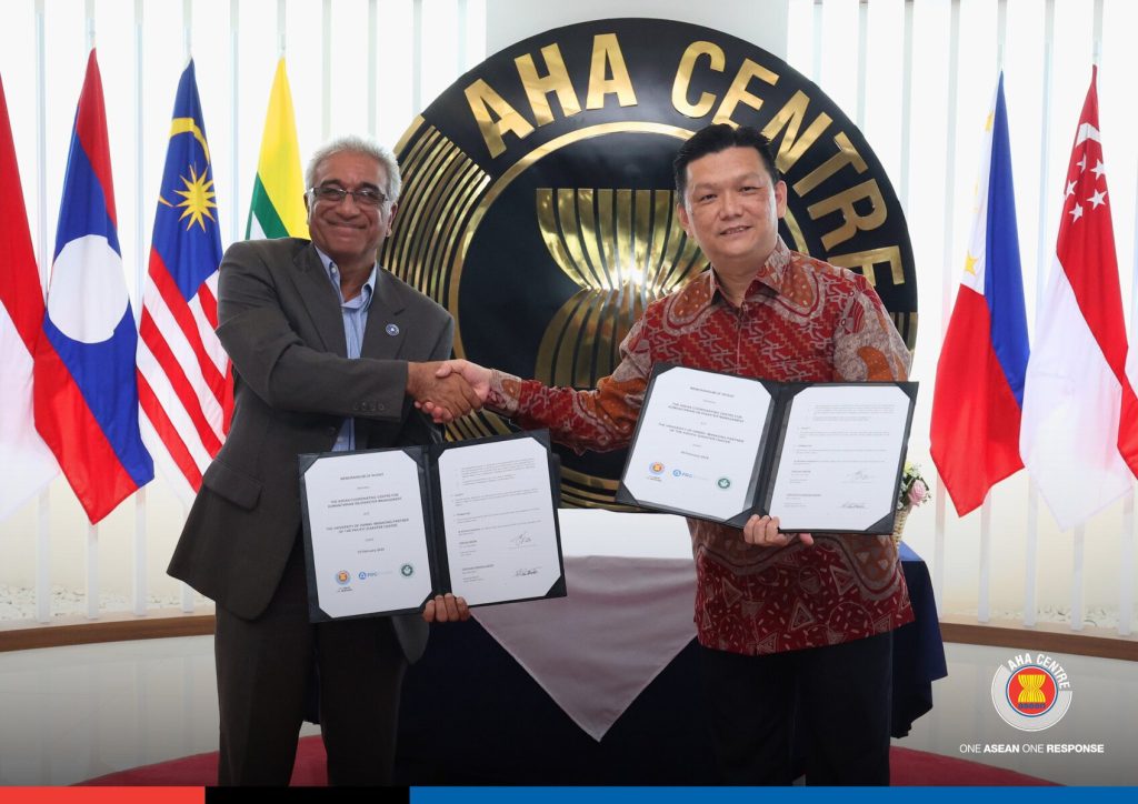
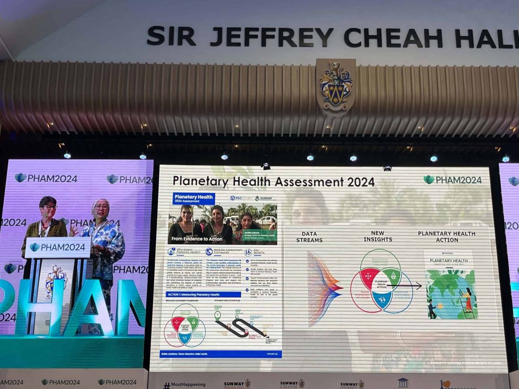
Kuala Lumpur, Malaysia—During the recent 2024 Planetary Health Summit and 6th Annual Meeting which took place from April 15-19 in Kuala Lumpur, Malaysia, the University of Hawai’i’s Pacific Disaster Center, and Sunway University formalized their partnership through the signing of a Memorandum of Understanding (MOU). The first collaborative activity planned under the new MOU is a Planetary Health Assessment to create a baseline understanding of the impacts of the planetary health crisis including extreme natural hazards, biodiversity loss, and pollution on the human and earth systems at the national level.
Apr 16, 2024 | National Disaster Preparedness Baseline Assessment
Kihei, Hawaii–The Pacific Disaster Center (PDC), a University of Hawaiʻi applied science and...

Mar 13, 2024 | Partnerships
Sixteen fellows of the 2024 Ka Ipu Kukui cohort recently came together to address the challenge...